About EverWatch Services
Experienced. Trusted. Committed to Protecting What Matters.
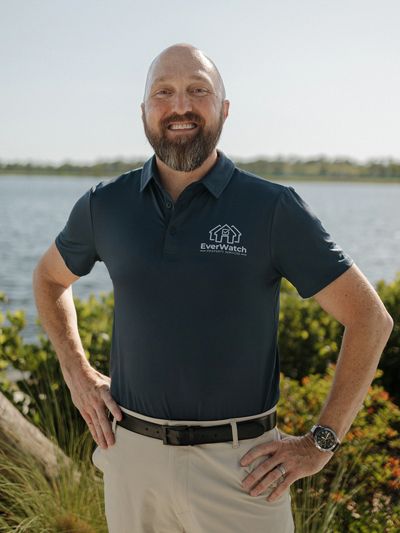
My name is Larry Nielsen, and I founded EverWatch Property Services to provide clear and reliable property documentation using aerial imagery and ground-level photography.
EverWatch helps property owners, investors, estate managers, and real estate professionals create a visual record of a property's visible exterior condition. Using licensed drone operations together with ground-level imagery, I document what is visibly present on a property at the time of service.
This documentation allows property owners to review their property remotely and share the imagery with contractors, insurance providers, attorneys, or other professionals if additional evaluation is needed.
Before launching EverWatch, I spent more than 18 years working in law enforcement, where careful observation, documentation, and attention to detail were essential.
During that time, I also became involved in real estate and property investment, gaining firsthand experience with the responsibilities that come with owning and managing property.
Today, EverWatch combines that investigative background with licensed drone operations and professional photography to provide aerial and ground-level property documentation across Venice and Southwest Florida.
The goal is simple: provide property owners with a clear visual understanding of what is visibly present at their property, even when they cannot be there themselves.
What Makes everwatch Different
Professional Property Documentation
EverWatch Services provides aerial imagery and ground-level photography designed to create a clear visual record of a property's exterior appearance.
Each visit documents visible exterior conditions at the time of service, capturing structures, roof surfaces, surrounding areas, and other exterior features from both aerial and ground perspectives.
This imagery allows property owners to review their property remotely and provides documentation that can be shared with contractors, insurance providers, attorneys, or other professionals if further evaluation is needed.
EverWatch focuses on clear, accurate visual documentation, giving property owners reliable visibility into their property even when they are not physically present.

Why Clear Property Documentation Matters
Clear Visual Documentation Provides Real Visibility
When property owners cannot physically visit their property, they are often forced to rely on secondhand descriptions or assumptions about its condition.
Aerial imaging and ground-level photography provide a clear visual record of a property's visible exterior condition at the time of service.
Instead of relying on someone else's interpretation, property owners can review the imagery themselves and share it with contractors, insurance professionals, attorneys, or other specialists if additional evaluation is needed.
EverWatch was built to provide professional aerial and ground-level property documentation so owners can maintain visibility into their property even when they are miles away.
As the founder of EverWatch, I bring:
• 18 years of law enforcement investigative experience
• FAA Certified Remote Pilot (Part 107)
• Fully insured drone operations
• Real estate ownership and investment experience
• Local service based in Venice and Southwest Florida
EverWatch provides clear, professional visual documentation so property owners can better understand the visible condition of their property and make informed decisions when needed.